 Watch Walks
Inca Trail Free
Climb ancient Inca stone through cloud forest to the Sun Gate and Machu Picchu.
Inca Trail runs 43 km through Peru and finishes at Machu Picchu. It starts at KM82 Piscacucho. Your ordinary week counts toward all of it: at 5,000 steps a day that's about 2 weeks, with no flights and no leave. Below are the 12 places you pass, and what happened at each one.
- 43km end to end
- 12landmarks
- 2 weeksat 5,000 steps a day
- Machu Picchufinishes at
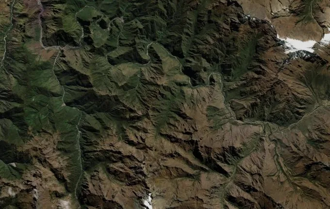
The landmarks of Inca Trail
12 landmarks, in walking order.
-
KM82 Piscacucho
The Urubamba River runs hard and green past KM82, and the permit gate swings open at last. Forty-three kilometres of Inca stone lie ahead, every one of them bound for Machu Picchu. This is where the road begins.
-
Llactapata
The terraces of Llactapata come into view around a bend, spilling down the hillside in green steps. This old Inca farming town once grew the maize and potatoes that fed Machu Picchu itself.
-
Wayllabamba
Wayllabamba is the last inhabited village on the trail, sitting near 3,000 m where the Mollepata route joins the classic path. Above it the valley narrows and the trail tilts sharply upward toward the high passes. The sustained climbing begins here.
-
Llulluchapampa
At 3,800 m, Llulluchapampa is a high meadow camp set close to the tree line, the last open ground before Warmiwañusca. The thin air makes it a demanding place to rest. Above it rises the steepest stone stairway on the whole trail.
-
Warmiwañusca
At 4,215 m, Warmiwañusca is the highest and hardest point on the trail, named for the surrounding ridgeline that resembles a woman lying on her back. The air is thin and cold, and the valley falls away on both sides. The route drops from here into the cloud forest of Pacaymayo before the stone stairway past Runkurakay climbs again.
-
Pacaymayo
The path drops in switchbacks to the Pacaymayo valley, cloud forest closing over it. River roar and the hush of mist — that is the reward at this height.
-
Runkurakay
A round stone watchtower guards the route at Runkurakay, built to watch the pass below. Beyond it clings Sayacmarca, the 'inaccessible town', pinned to a sheer cliff edge.
-
Runkurakay Pass
The second pass tops out near 3,950 m, gentler than Warmiwañusca but still a hard climb up from Pacaymayo. A small lake sits below the saddle, with llamas grazing its far bank on still mornings. The round watchtower of Runkurakay shrinks into the slope behind, and from here the path turns to original Inca stone for good.
-
Phuyupatamarca
Phuyupatamarca means 'town above the clouds', and its carved ceremonial baths still run with water from ancient Inca channels. Whole mountains float on the mist below.
-
Wiñay Wayna
Wiñay Wayna means 'Forever Young' — sweeping terraces, a waterfall, and the finest ruins on the trail. This is the last camp before the prize.
-
Sun Gate
Inti Punku, the Sun Gate, is the original Inca entrance to Machu Picchu, set on a ridge above the site. Through its stone doorway the city appears far below, framed deliberately as the Inca intended it to be first seen. Only a gentle downhill hour of trail remains from this point.
-
Machu Picchu
Machu Picchu stands at 2,430 m on a ridge between two Andean peaks, a fifteenth-century royal estate the Inca abandoned around the Spanish conquest and the wider world did not record until Hiram Bingham reached it in 1911. Forty-three kilometres of high pass and cloud forest lead to this last overlook, where the stone city spreads below. Here the Inca Trail ends.
Walking the Inca Trail
Your watch is already counting these steps. Watch Walks spends them on the Inca Trail, all 43 km of it, and hands you each landmark as you reach it. There's no route recording, no account and no ads. This trail is free.
Other trails in South America
- Inca Road 810 km · Peru
- Alpamayo Circuit 64 km · Peru
- Cordillera Huayhuash Circuit 130 km · Peru
- Torres del Paine (O Circuit) 130 km · Chile